At the core of a more rigorous approach to modeling civic issues is good data. This has multiple criteria:
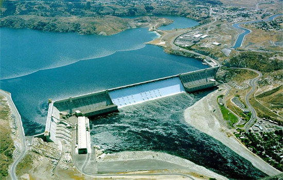
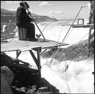
Water Data. Water is such a critical component of an ecosystem model that it will show up in many of the examples as a core topic. It may need to be modeled especially accurately. The water cycle is complex. Heavy pumping can, for example, compact some aquifer systems and permanently reduce their storage capacity. And in some regions water shortages don’t start to take place until years into a drought due to the hydraulic nature of water reserves. Seasonal variations in water discharge into streams depend on snow melt the year before and a variety of other wind and weather conditions. Farms and urban centers use water at varying rates and in varying ways depending on assigned water rights. The migrations of fish up-river depend on many water factors; not just dams or fish ladders but also turbidity, temperature, salinity, log overhangs just to name a few.
Relationships. Unfortunately the relationships between data points are not documented as well as the data itself. There are seasonal datasets that show how complex systems behave over time but these just log historical events. It may be possible to derive relationships from these facts but that is still work that needs to be done.
Multiple data sources. Substantial data already exists describing hydrography, animal habitat, farming conditions, water rights and the like. Collecting available local facts, figures and relationships that describe the behavior of local watersheds, bioregions, the effects of law and policy on those regions and people is critical. This will be akin to an OpenStreetMap or Ordnance Survey. In the United States the Census Bureau and the United States Geological Survey provide data including roads, human populations, the National Hydrography Dataset and the Watershed Boundary Dataset. There are many other data sources as well.
Historical data. Simulations need to be calibrated against historical data and tested on observations not used to fit them. In the initial stages the goal isn’t necessarily accuracy however: it is to act as a way to cut away at the most egregious rhetoric, and as a teaching tool about the complexity of natural systems, the value of thinking in terms of whole systems, and the risks of unexpected side-effects.
Data resolution. Farms have certain production rates of certain kinds of crops. They also have certain inputs in terms of water and other resources. Energy generation such as hydroelectric, solar, coal each have initial costs and ongoing costs as well as yields. Urban centers consume resources at a certain rate - below that rate chaos ensues or populations begin to migrate or have diminished productivity. There will be many kinds of models at varying resolutions, with many kinds of data. All farms in a given model may only produce one output; or in other cases (such as modeling California Drought) it may be broken down into specific kinds of crops (such as grains, avocado and almonds).
Curated. People need to be able to take observed facts and relationships about a region and pour them into some kind of shared open database. This database needs to be similar to wikipedia in that it has to be open yet probably curated to avoid spam.
Pre-populated. The models should allow stakeholders to populate a scenario with their own data. However, as well, seeding the system with provided data helps novices participate more easily.